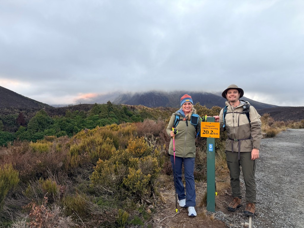
We set off at 7:30 am for the 20.2 km (~12.6 mile) hike on the Tongariro Alpine Crossing. Before we even took our first step on the trail, there was a quiet moment that felt different from every other hike we’ve done.
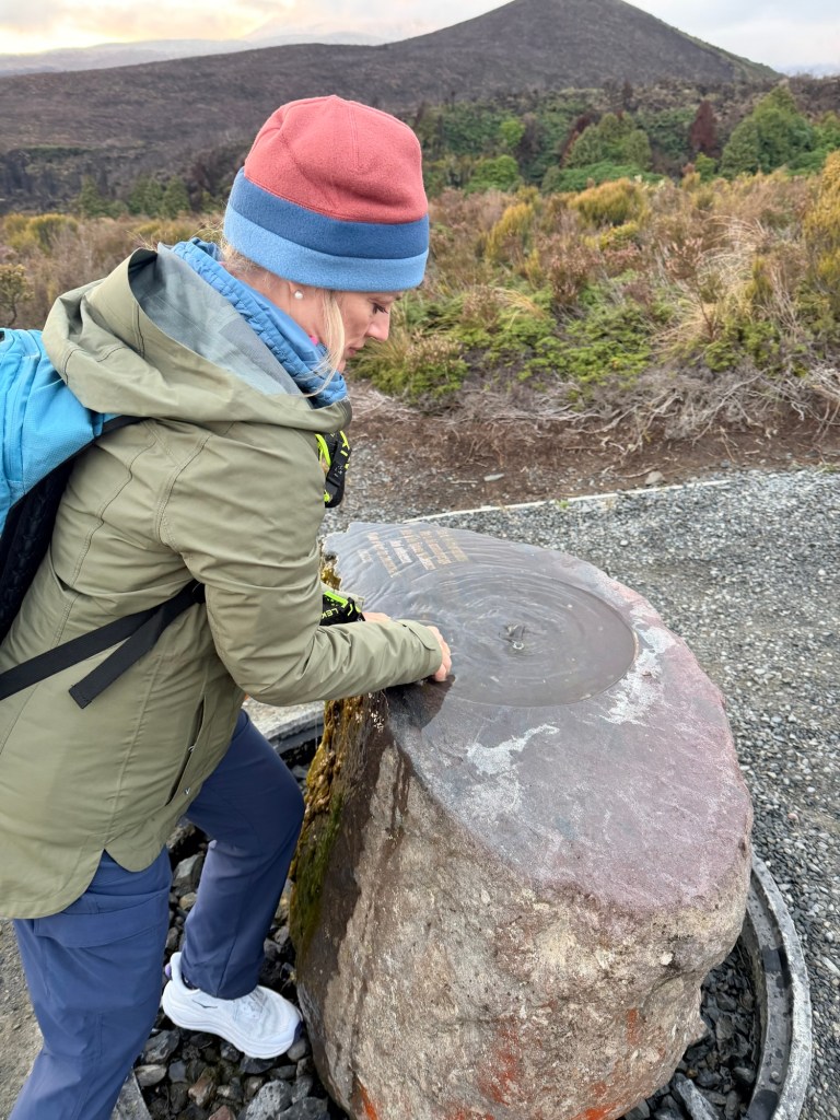
At the start, there was a small ceremonial bowl of water. Brendan and I paused and washed our hands—simple, quick, but meaningful. In Māori culture, this connects to the idea of moving from tapu (sacred) to noa (balanced, safe to proceed). It’s a way of acknowledging that this land isn’t just beautiful—it’s spiritually significant.
And standing there, about to hike (aka tramp) across an active volcanic landscape considered sacred, it felt like more than just a gesture. It felt like a reminder to tread with respect.
Then we tightened our packs and set off on one of the most challenging and stunning hikes we’ve ever done.
🌿 The Gentle Lie: Mangatepopo Valley (The Beginning)
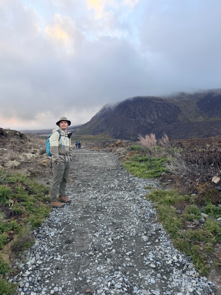
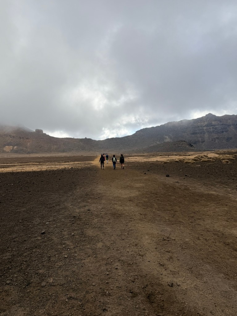
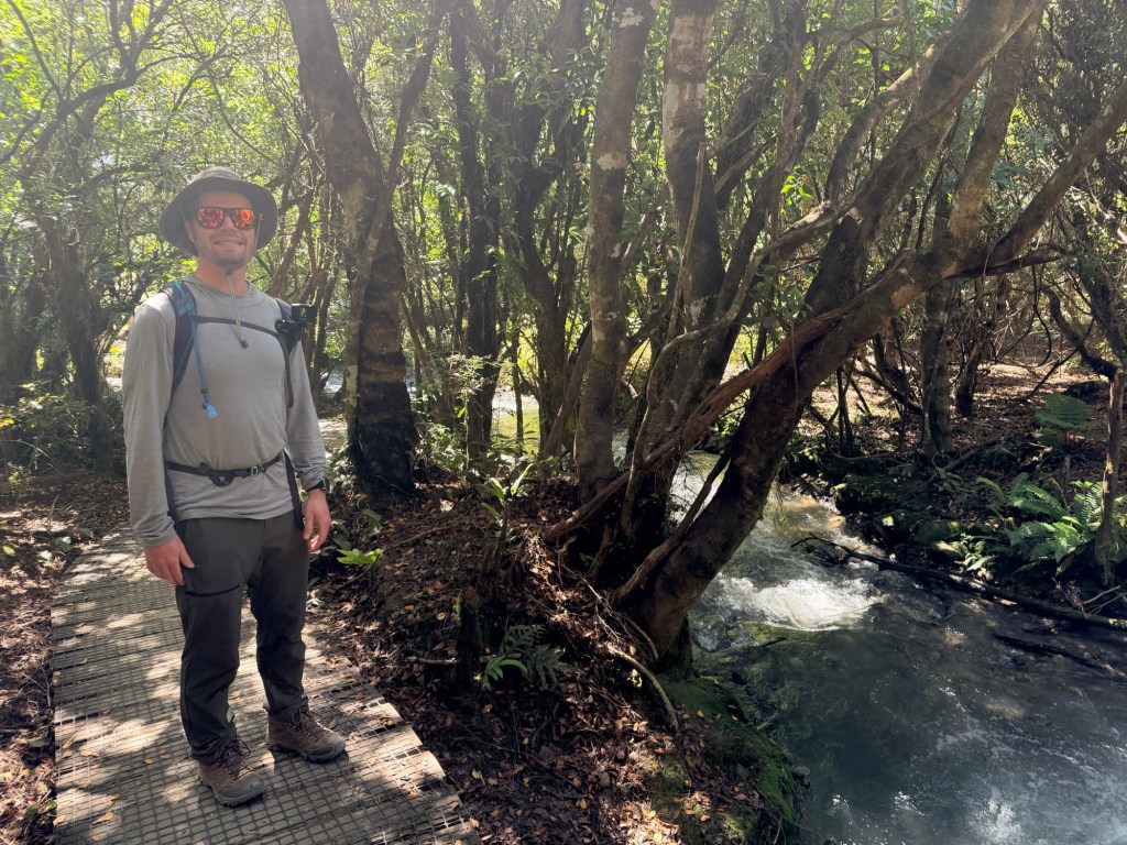
We started optimistic, energized and slightly overconfident. The trail eased us in with a relatively flat, boardwalk-style path through the Mangatepopo Valley. It’s scenic, open, and led us to believe this was going to be manageable.
We chatted. We admired the views. We said things like,
“Wow, this isn’t bad at all!”
Lol. The innocence.
🪨 The Reality Check: Soda Springs to Devil’s Staircase
Enter: The incline.
The climb up to Soda Springs woke up our legs, but it’s the Devil’s Staircase that officially humbled us (well, maybe me more than Brendan). A relentless series of steep steps that felt like you’ve truly arrived in Hell.
At this point our conversation decreased, our breathing increased, and layers started coming off (turns out five layers was ambitious).
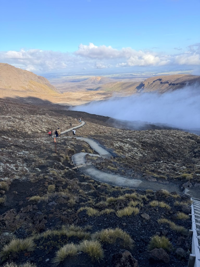
And yet, you look up and the landscape is already becoming otherworldly.
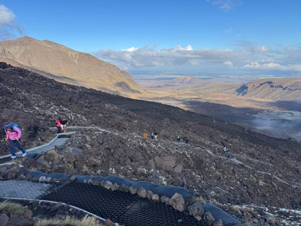
🌋 The “Why Are We Doing This?” Section: South Crater & Red Crater Climb
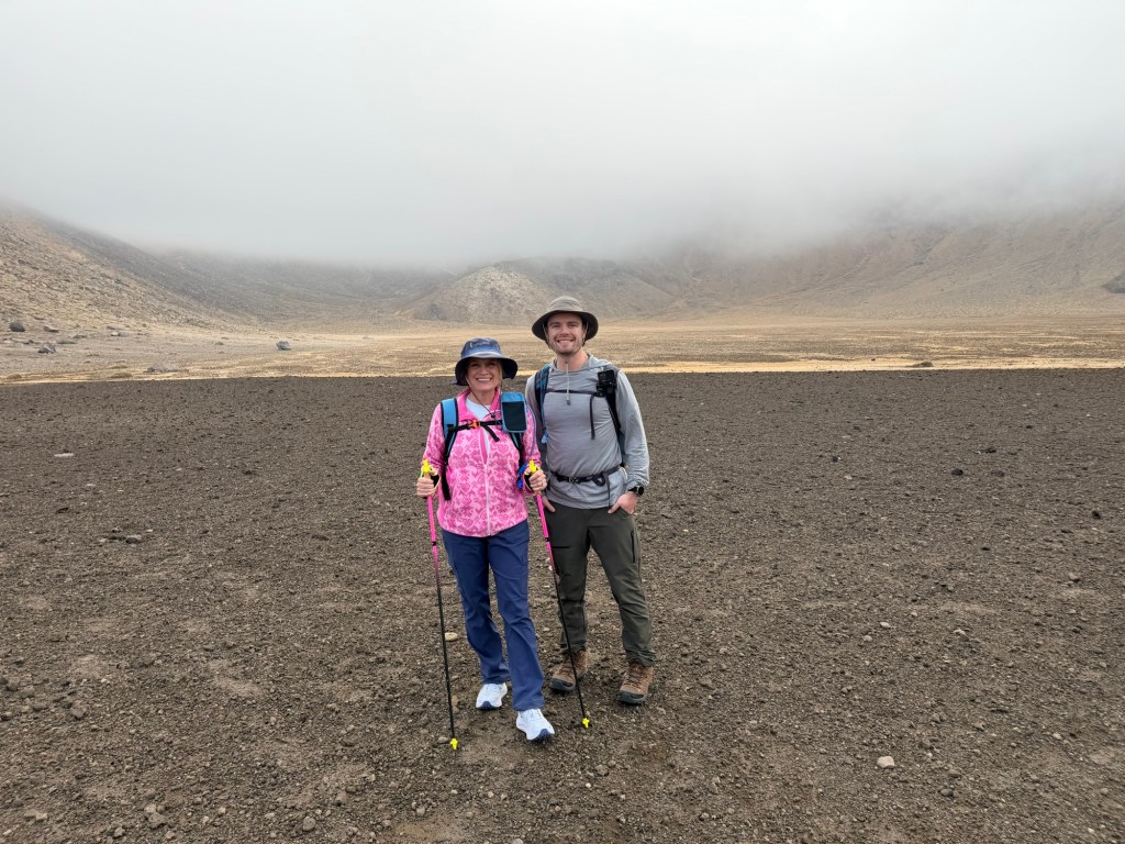
We got a brief reprieve crossing the South Crater—a wide, flat expanse that feels like walking on another planet.
Then we saw it.
The climb up Red Crater.
Holy moly. THAT WAS HARD. In fact, there’s even a sign after the Devil’s Staircase that says it’s about to get even harder, so if you want, turn back now.
It is definitely the hardest cardio part of the hike. It’s steep, loose, and requires equal parts determination and stubbornness. I didn’t think it was going to end.
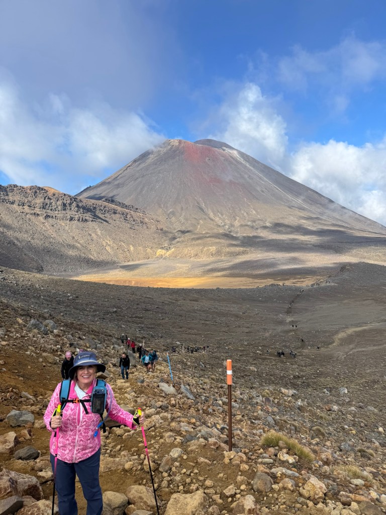
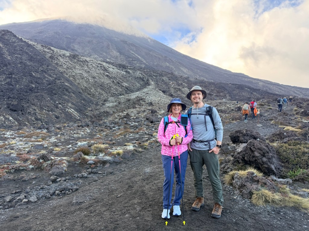
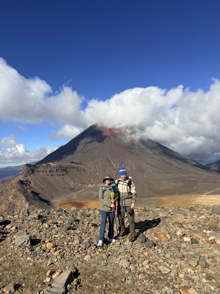
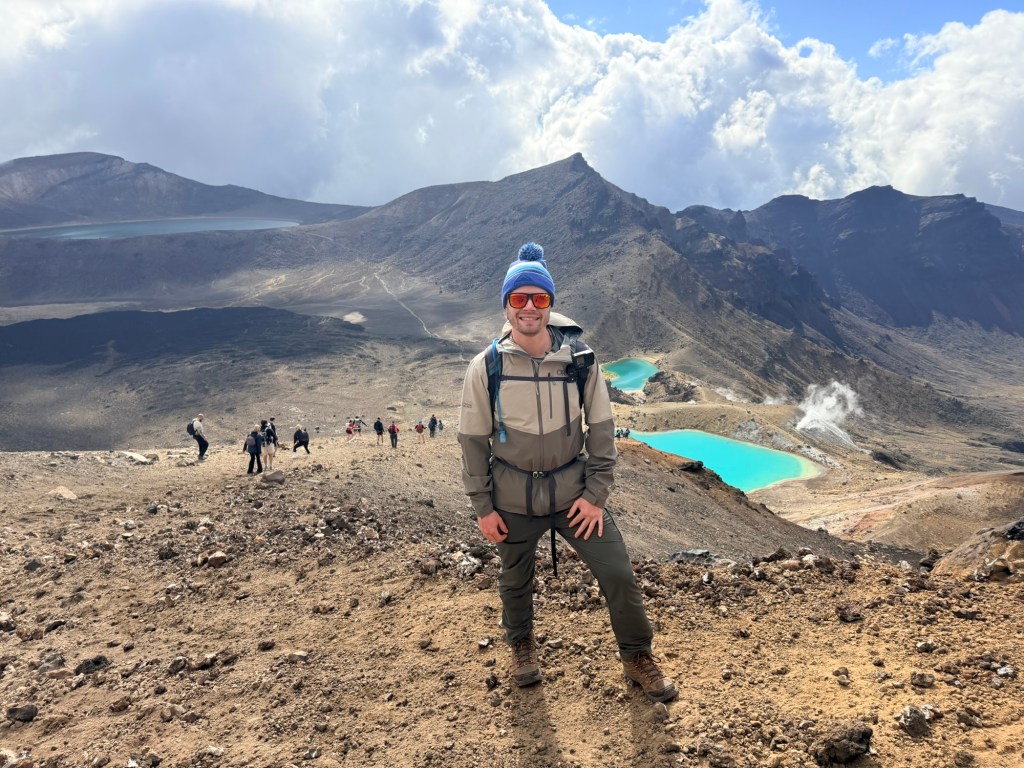
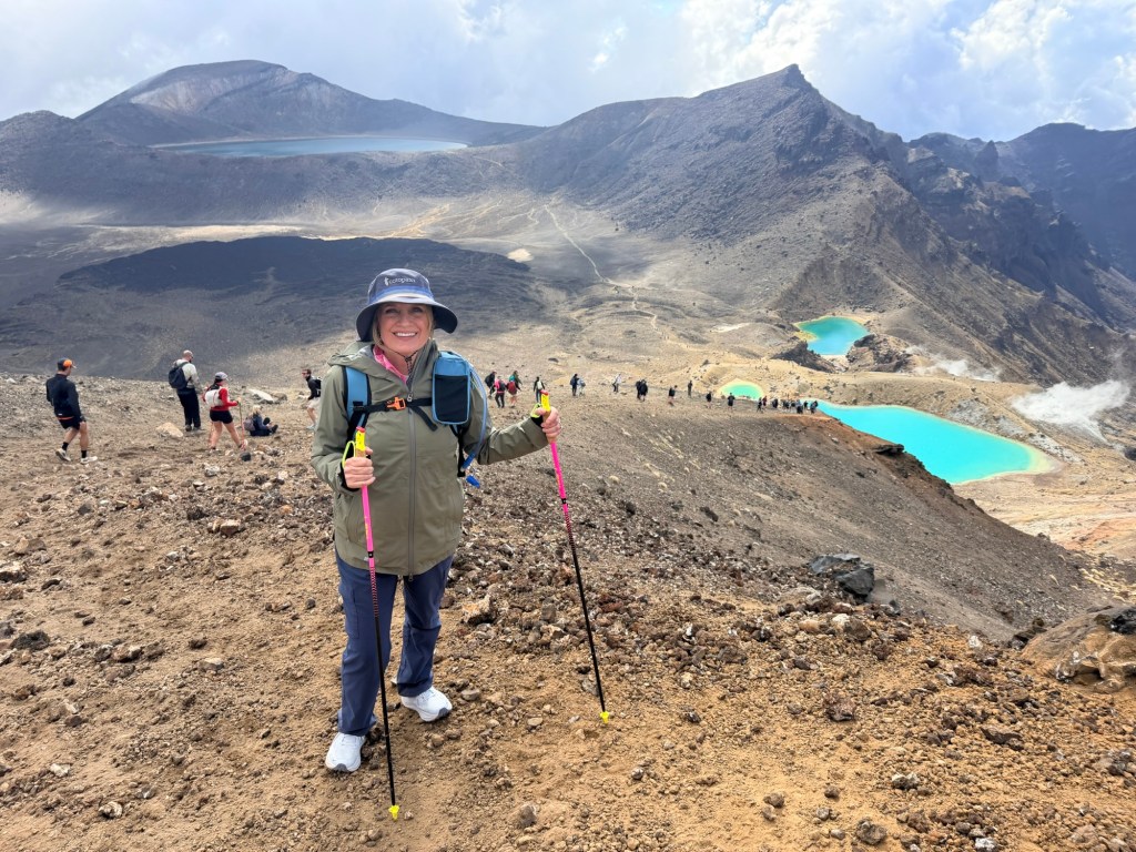
But when we finally reached the top and stood at the highest point of the crossing, we were surrounded by raw volcanic beauty that made us forget (temporarily) how hard that really was.
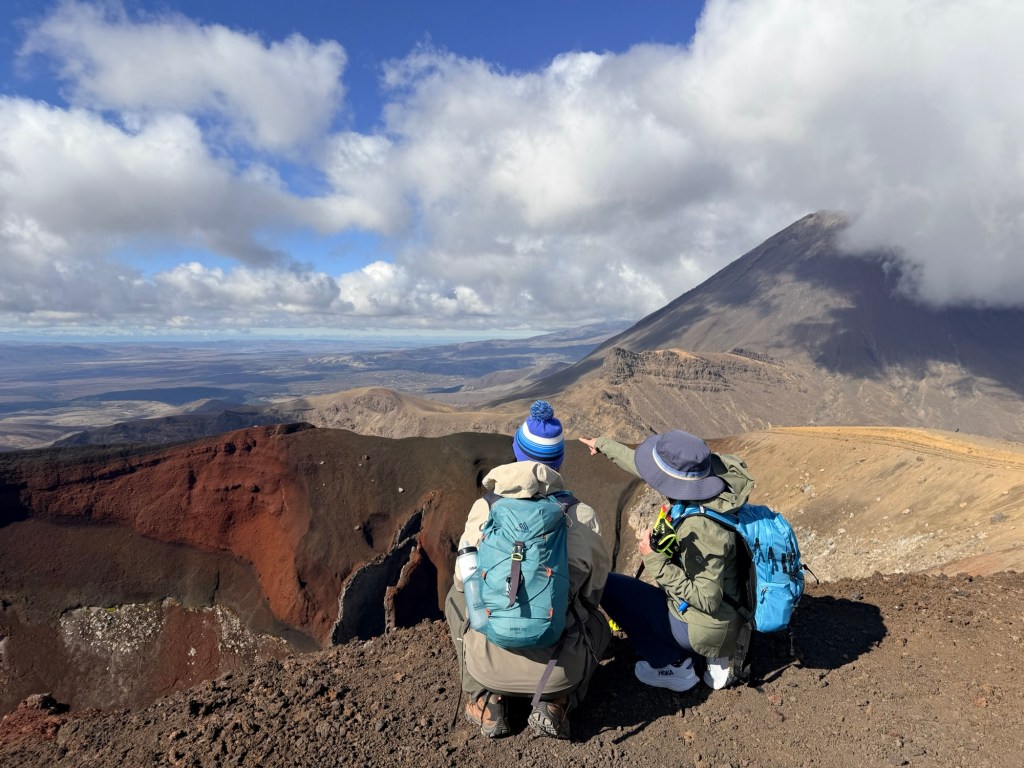
💨 The Descent That Tests Your Balance: Red Crater to Emerald Lakes
Going down sounds easy. It is not.
The descent is steep, covered in loose volcanic gravel, and feels like walking on marbles. It’s less “hiking” and more “controlled sliding while trying to look graceful.”
This is also where my hiking poles officially became MVPs. Absolute lifesavers on the downhill—10/10 recommend if you enjoy having functional knees. Thank goodness for them otherwise I may have gone right off the edge. So many people were sliding and falling down, Brendan and me included.
But then—just as we’re questioning everything—we see them…
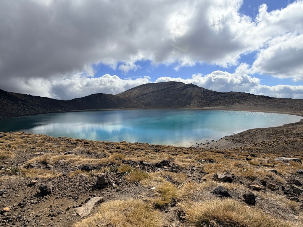
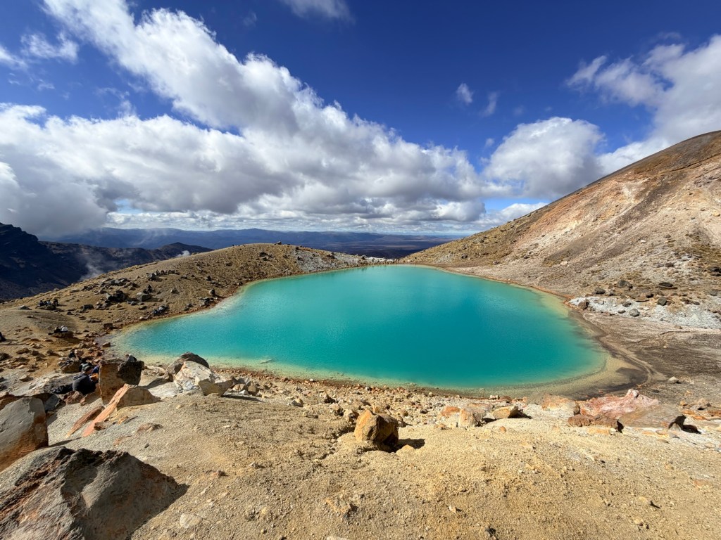
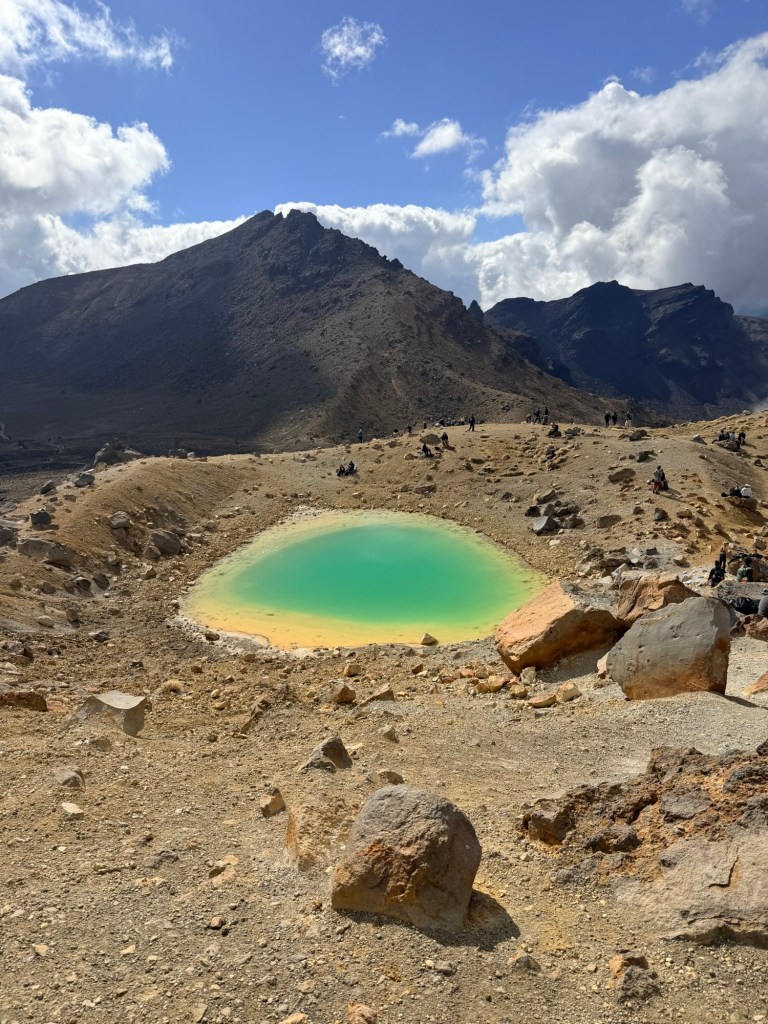
💚 The Showstopper: Emerald Lakes
Bright, surreal, almost impossibly green.
The Emerald Lakes look like they were photoshopped into real life. The contrast against the dark volcanic terrain is unreal! Suddenly everyone forgot their exhaustion and turned into a photographer.
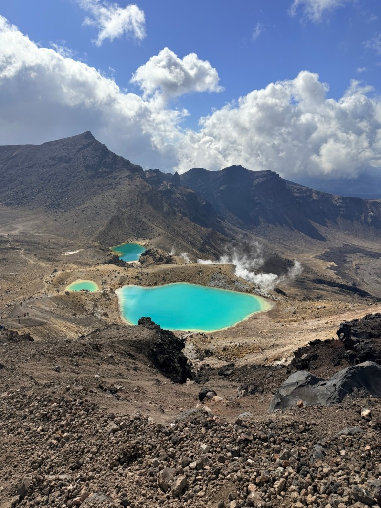
This is where we paused. Took it in. Smelled the sulfur. Wonder how something this harsh can also be this beautiful.
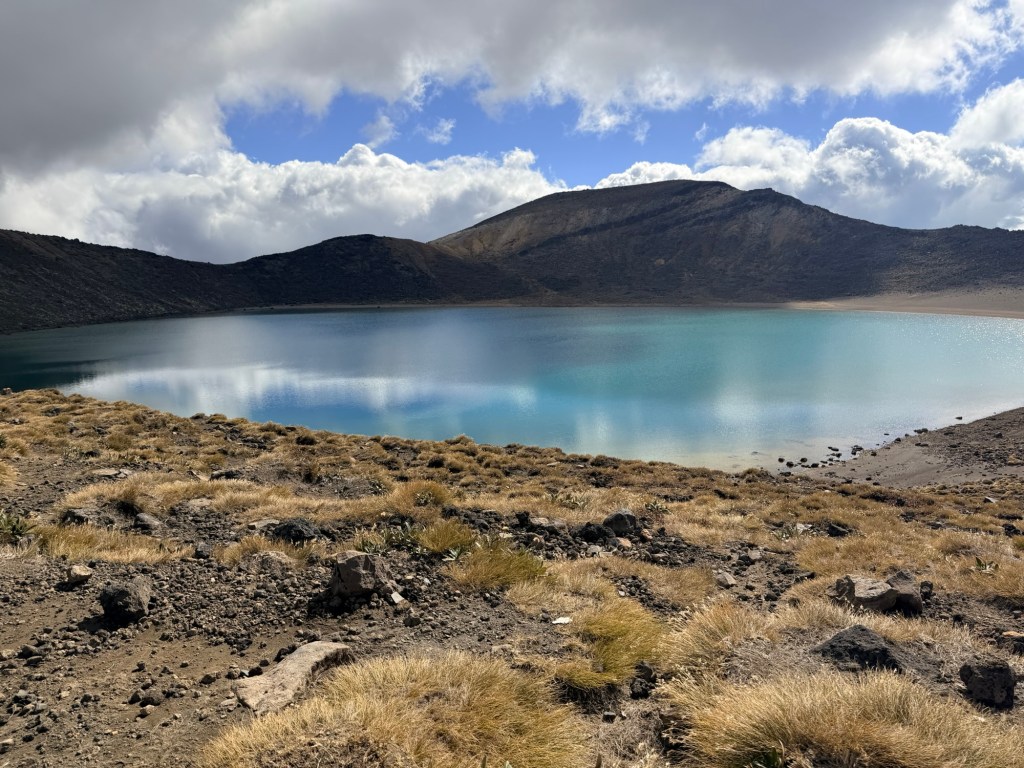
🩵 The Long Way Home: Blue Lake to Ketetahi Descent
From here, the hike shifted yet again.
We came to Blue Lake where we ate lunch, admired the calm, and watched the water change colors and sparkle.
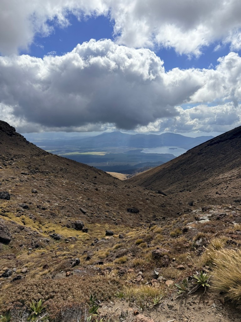
Then we began the long descent down the other side. And when I say long, I mean long.
This section tests your endurance in a completely different way. It’s less intense, but it just keeps going. And going. And going.
My knees started negotiating. Our feet filed complaints. Brendan and I definitely hit the “are we there yet?” phase, more than once.
But the views opened up again, stretching out toward Lake Taupō in the distance, reminding us why we’re doing this hike.💙
🌄 The Finish Line
When you finally reach the end, there’s no dramatic finish line—just a quiet, deeply satisfying sense that you did something hard and worth every step. However, had there been “finisher medals” handed out, I would’ve kept that medal for the rest of my life and proudly displayed it in a prominent place! 🏅
We finished in just under 7 ½ hours, tired, dusty, and fully in awe of what we had just experienced.
🥪 What We Brought (and were very glad we did)
This is not a hike where you want to under-pack… but also not one where you want to wildly overdo it either (speaking from experience).
Water:
I carried 2 liters of water in my hydration backpack + a Powerade. I drank every last drop. Brendan carried 3 liters of water, a Gatorade, and two extra bottles of water. He only had those two extra bottles left at the end.
Equipment:
I used my new Leki hiking poles, which were absolute lifesavers on the downhill. They’re also easy to pack as they fold up very small and have a carrying bag. Brendan did not use poles but he’s also 30 years younger than me lol.
Even if you don’t have knee problems, it’s very common to have knee issues on the way down because your quads are so taxed and there are a million steps. OK, maybe not a million but it sure felt like it.
Food:
Our amazing hotel, Tongariro Crossing Lodge, packed us a perfect lunch—Ham and cheese sandwiches, chocolate, apple and granola bar. Plus we had some other snacks from a local gas station.
Clothing:
As mentioned above, I wore five layers, which, in hindsight, was aggressively unnecessary.😂 Better safe than sorry as some days may be colder.
Weather:
We couldn’t have asked for a better day. Other than the time we were actually in a cloud, it was mainly sunny. Keep in mind that you constantly need to be checking the weather up to the point when you hike, and then you may even have to turn around if the weather is too severe. Keep in mind that this hike is pretty wide open so sunscreen and hats are a must.
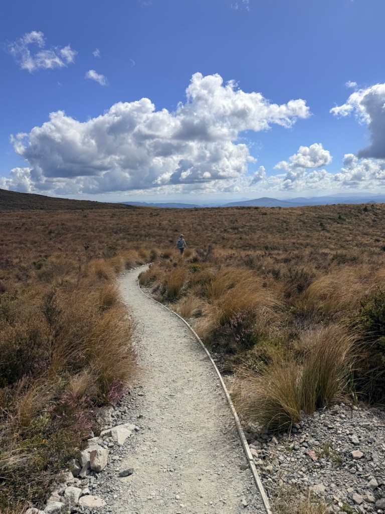
Also, we went through so many different biomes—volcanic, rolling hills, prairie, forest, jungle. I’ve never been on a hike, so diverse before.
Transportation:
Where are you start the hike and where you end it are two different places. Therefore, you don’t want to drive and leave your car at one end because you won’t have it when you finish.
Therefore, our hotel booked us a ride both ways with Dempsey Buses. Worked perfectly. They picked us up at 6:45 am and then brought us back to the hotel when we finished. Pick up time is either 3:00 or 4:30 (or you call them and they’ll pick you up after). We made the 3:00 pm. And it was a good thing we did because we had a 4-hour drive to Wellington after we finished the hike.
Altitude:
Throughout the hike, we ascended 3,002 feet, we descended 4,170 feet, max elevation was 6,194 feet, and the minimum was 2,513 feet (thanks to Brendan’s Garmin watch).
Attitude:
Better bring a good one or that 6-8 hour hike will be miserable. Keep that positive mindset, think safety first, and enjoy the surprise around every corner.
🤔 Reflection
The Tongariro Alpine Crossing is physically demanding, mentally challenging, spiritually grounding, and visually surreal.
We came for the hike. We left with sore legs, incredible views, and a much deeper respect for the land we crossed. It was worth every ache and pain that, hopefully, Advil is going to cure.
